

BOOKS: If you collect books, you already know the answer. First editions of books are, almost universally, much more valuable than later editions – occasionally reaching tens of thousand dollars higher for “best sellers”. A first edition a book is considered more valuable simply due the significance of s being the very first appearance of that particular work. Publishers often follow up with later editions to satisfy demand or correct errors. Many (but not all) publishers use the words “first edition” to identify the initial publication of a book. If so, you are probably safe in calling your book a “first edition”. If your book was published before 1900, you may have to put on your “sleuth” hat and track down the publication dates of the book. Now, let’s talk about antique maps.
MAPS: If you collect antique maps, “first edition” may not be so important. My comments pertain to maps published before 1860. You know that most loose antique maps were taken from atlases and travel books. Those atlases and travel books were often published in more than one edition and more than one language. Publishers sometimes put text on the back of the map if it is to be published in an atlas, but used the same plate for the map regardless of the language. Sometimes the map is not dated; if so, once the map is removed from the atlas you may not be able to determine the publication date. A few carto-bibliographies are available to help you determine the publication date, but many are very expensive to buy. If there is no text on the back of the map and no date on the map, you may have to rely on cart-bibliographers for your answer. They may have discovered that a map had errors which were corrected at a later date. Or there might be new information to be incorporated. (Buyers were anxious to have the latest information about the “New World” and the Australian Continent.
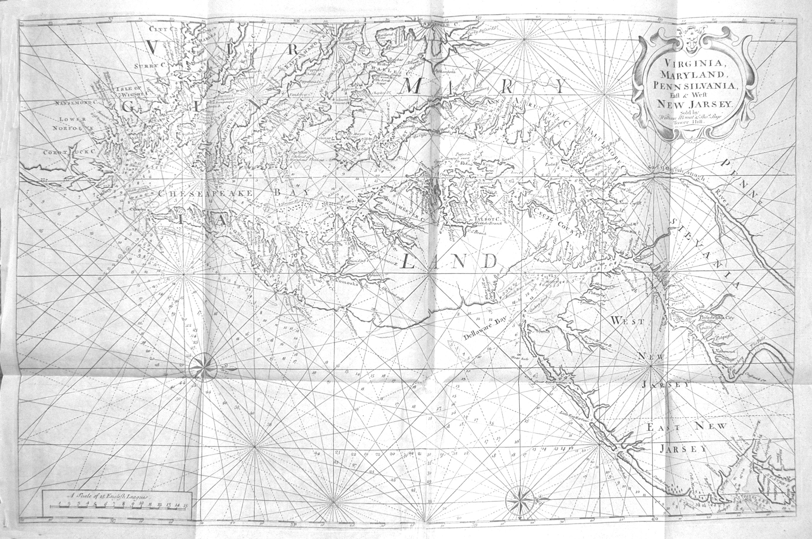
| To illustrate the correction of a simple mistake, consider the double-page map of Virginia by John White, first published in 1590, but not dated. The map has Latin text in the two cartouches and is the same for the four languages and all three editions of Part I of Theodore de Bry’s the 14 parts of his Grands Voyages. There is one known exception to the design. In his carto-bibliography, Philip Burden identifies three “states”, all pertaining to the beginning “C” in the title of the Indian village “Chesepiooc” (Chesapeake), which is located on a river left of the Chesapeake Bay. However, Burden indicates those three states bear no relation to the editions of the book. So, it is impossible to attribute the map to a particular edition of de Bry’s book about Virginia once it is removed from the book, or if it had been replaced during restoration of the now 434 year-old book. Those three states are: State 1. Ehesepiooc. State 2. The letter “C” engraved over the “E”; both still visible. State 3. The error was hammered out, burnished, and replaced by “C”. All of White’s map of Virginia are rare and valuable. State 1 is of his map is virtually unknown and would be worth more than $30,000.Most copies of the map are State 2 and sell for about $15,000 to $20,000. State 3 e is seldom seen and would be worth about $25,000-$30,000. This illustrates what is often true for maps – mistakes or new information call for new editions. Such situations create two or more price levels. First editions are also sought, but the price differential is nowhere near that for books. For example, the first edition of the German version of the book containing the map is rarely offered but might be worth only 1000 percent more than a second or third edition. The Latin version is more readily available, and the differential may be only 25 percent. So, scarcity plays the dominate role. |
So, the answer to my question is “Yes, for books; but, as you have seen, other factors dominate the antique map domain.”
Leave a Reply